
The National Weather Service forecast on Friday morning put Hurricane Ida’s landfall between Intracoastal City and Grand Isle on Sunday.
But it was too soon to know for certain. Earlier Friday morning the landfall was predicted between Morgan City and New Orleans as a Category 3 hurricane.
“I believe we are going to get some impact,” Eunice Mayor Scott Fontenot said.
“People just need to take this seriously. It looks like the storm from what they are predicting is going to go through a rapid intensification process,” he said.
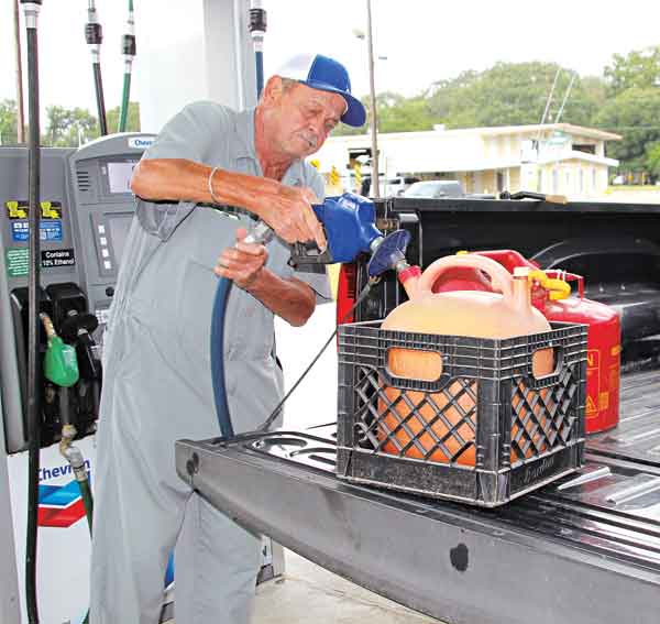
Residents should expect power outages and downed trees, he said.
But mitigating the number of downed trees may be that this area was pummeled by Hurricanes Delta and Laura a year ago. Both caused major tree damage.
Van Reed, St. Landry Parish emergency preparedness director, said shortly before noon Friday that the track had shifted west and that meant the east side of the parish could get 60 to 100 mph winds. That would mean the Eunice area would get sustained winds at about 30 mph.
Closures are expected on Monday, Reed said.
At noon, the National Weather Service stated the forecast track is expected to be a Category 3 or greater hurricane when it makes landfall between Intracoastal City, and Grand Isle on Sunday afternoon or Sunday night.
“Life threatening storm surge, damaging hurricane force winds, heavy rains and tornadoes are all risks with this system. Typically the worst parts of the hurricane are along and to the east of where it makes landfall,” the Weather Service stated.
Gov. John Bel Edwards has declared a state of emergency due to the potential impacts.
“Now is the time for people to finalize their emergency game plan, which should take into account the ongoing COVID-19 pandemic,” he said in a news release issue Thursday.
“By Saturday evening, everyone should be in the location where they intend to ride out the storm. Monitor the local news and updates from the National Weather Service and your local leaders, check on your neighbors, include plans for your pets, and stay safe. This situation could result in major power outages and limited travel. Consider steps that may need to be taken to deal with those type issues. The people of Louisiana have been tested time and time again, and while it is my hope and prayer that this storm will not bring destruction to our state, we should be prepared to take the brunt of the severe weather,” he said.
Visit www.511.la.org for updates on road conditions and find other at getagameplan.org.
Cleco announced it has secured 1,100 workers, including damage assessors, power line technicians and vegetation specialists to help repair any damage to our transmission and distribution systems.
- Log in or Subscribe to post comments.