From Roger Erickson, warning coordination meteorologist, National Weather Service, Lake Charles
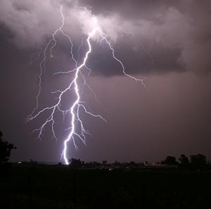
The National Weather Service in Lake Charles is expecting strong to severe thunderstorms today and tonight across the region. Large hail and damaging winds are the primary threat right now, but a tornado threat will increase as the day goes on as well.
Storms this morning are already producing large hail in southeast Texas, and have the potential to do so in coastal parishes of southwest Louisiana. This activity will continue through the morning hours in both southeast Texas and along and south of the I-10 corridor of southwest and south central Louisiana.
Later this afternoon, a line of thunderstorms will develop in northeast Texas and move southeast towards our region. This line will be capable of damaging winds, large hail, and isolated tornadoes. It will be in east Texas late this afternoon, southeast Texas and southwest and central Louisiana this evening, and south central Louisiana later tonight.
In addition to the severe weather threat, there is a threat for street flooding during periods of heavy rain today and tonight. As much as 2 to 5 inches of rain is now forecast, with the highest totals in south central Louisiana. Strong winds from the south gusting in the 25 to 35 mph range are forecast this evening in advance of the front. Along the coast, due to the strong onshore flow, minor coastal flooding is forecast until the front passes later tonight.