Report from Roger Erickson, warning coordination meteorologist, National Weather Service, Lake Charles:
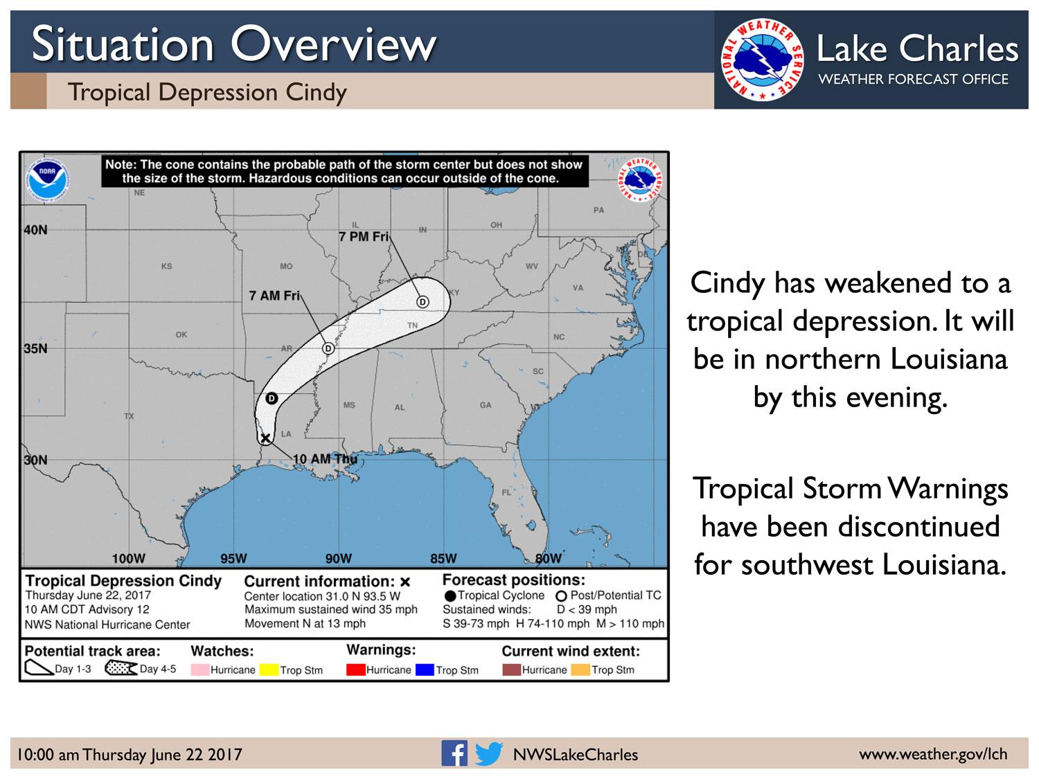
Tropical Storm Cindy has weakened and is now Tropical Depression Cindy, with maximum sustained winds of 35 mph. The tropical storm warning has been discontinued, and a wind advisory will be issued for our entire forecast area for wind gusts of 25 to 35 mph through this afternoon. Expect to see isolated power outages and a few trees blown down in saturated soils.
The tides will continue to be a problem. A coastal flood warning will be issued due to tides running 2 to 3 feet above normal. The next high tide will be late this morning and early afternoon, so we will see water 1 to 3 feet above ground level near Sabine Pass, Holly Beach, Cameron, Hackberry, Pecan Island, Intracoastal City, Delcambre, Cypremort Point, Burns Point, Amelia, and Stephensville.
Rainfall-wise, we still have a rain band in the area capable of producing 2 to 5 inches of rain, with locally higher amounts. This will primarily be in parts of central and south central Louisiana today.
In addition, this rain band has the potential to produce isolated tornadoes through this afternoon.